Skip to site menu Skip to page content

Catenary Mobile Mapping System

By TELICE

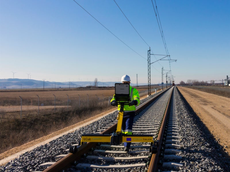
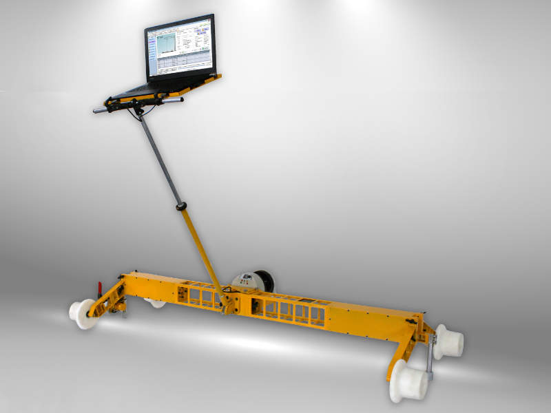
TELICE's tCat 2.0 Mobile Mapping system is designed as a reliable catenary geometry measurement tool.

It is suitable for surveying and monitoring parameters such as track gauge and camber, obtaining the position of different elements in absolute coordinates by working in conjunction with a robotic total station.

Enter your details below to view the free white paper

By downloading this whitepaper, you acknowledge that GlobalData may share your information with our white paper partners/sponsors who may contact you directly with information on their products and services.

Visit our Privacy Policy for more information about our services, how GlobalData may use, process and share your personal data, including information on your rights in respect of your personal data and how you can unsubscribe from future marketing communications. Our services are intended for corporate subscribers and you warrant that the email address submitted is your corporate email address.

Related Content