GPS Integration for GRP 1000/3000
GRP 1000 GPS and GRP 3000 GPS are configurations of the GRP System FX. The GPS option is an expansion of the established GRP 1000 and GRP 3000 solutions. Existing systems are easily upgraded to include GPS. The Leica GPS1200 and GPS500 sensors are recommended.
The GPS option includes the antenna pole, communication cables and the attachment of the new adapter plate. When using GPS, the GRP system can easily be switched over to TPS mode.
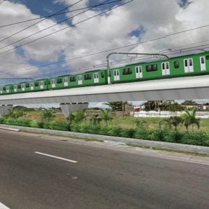
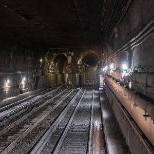
BALLAST TRACK CONSTRUCTION
GRP 1000-GPS provides centimetre-accurate track geometry correction data for tamping applications in railway track construction and maintenance. The system is set up and started within minutes. The correction values are calculated automatically based on design and ‘as built’ data, being displayed and recorded in real time. The critical parameters of gauge, superelevation and twist are measured using the precise GRP ‘stop and go’ mode. The correction data is converted into the appropriate data format for the tamper guidance computer (Plasser & Theurer, Matisa etc.)
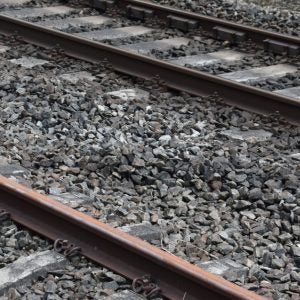
INITIAL TRACK MEASUREMENTS
GRP 1000-GPS enables fast recording of track geometry on existing tracks in 3D. One person is able to set up and operate the trolley. GRP 1000-GPS records the track geometry in ‘stop and go’ mode. The typical accuracy is 2cm in track position and 4cm in height standard values. It is possible to measure up to 1500m/h.
The recorded data reports are user-defined and can be exported in the appropriate AutoCAD- and LandXML-format for track redesign.
ASSET RECORDING
GRP 3000 GPS allows both the track geometry and surrounding objects to be measured. The integrated profiler provides 3D measurements of catenaries, signal gantries and other structures. Due to the GRP’s modular design, extensions and upgrades can be carried out at any time. The single interface in the GRP software GRPwin allows a quick switch between GPS and total station mode without interruption of the workflow.