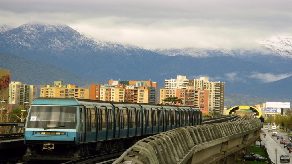
The Warsaw Metro is the rapid transit system of Poland’s capital city Warsaw. It currently has two metro lines, Metro Line 1 and Metro Line 2.
Metro Line 1 has 21 stations on a 22.6km single line route from north to south. The Metro Line 2, currently under construction, is a 31km double line with seven underground stations. It will run from east to west via a 400m-long tunnel, which connects the new and the old metro lines. Both the lines are operated by state-owned Metro Warszawskie.
Recommended White Papers
Recommended Buyers Guides
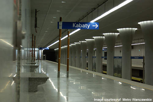
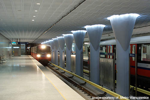
The first section of Metro Line 1 opened in April 1995. It was an 11.5km-long underground rail line between Kabaty and Politechnika. It was extended further north towards Dworzec Gdański in 2003, to Plac Wilsona in 2005, to Marymont in 2006, and to Słodowiec and Młociny in 2008.
The city has a population of nearly 2m, whereas Metro Line 1 is capable of transporting just 28,000 passengers a day. It is also not linked to many of the important locations on the east-west corridor. This has resulted in traffic congestion and heavy carbon emissions due to the large number of vehicles travelling in the east-west direction. In order to address the problem, the city approved its much awaited Metro Line 2 in 2008.
Background
The city authorities had originally planned for two metro lines, Line 1 and Line 2, in 1918.
Initial planning and boring work commenced in 1920. The plans were, however, shelved due to the Great Depression of 1929 and then again due to the outbreak of the Second World War.
In the post war period, metro plans could not be carried forward due to political uncertainty.
The project was reconsidered in 1955 but was approved much later in 1984 due to lack of funds, poor planning and bureaucracy.
Warsaw Metro Line 2 project details
Warsaw Metro Line 2 is a 31km-long route with 19 stations running in the east-west direction. It will start from Chrzanów station and end at Rembielińska. It will have intermediate stations at Lazurowa, Powstańców Śląskich, Człuchowska, Wolska, Bema, Płocka, Daszyńskiego Traffic Circle, ONZ Traffic Circle, Marszałkowska, Nowy Świat, PowiŚle, Praga Centrum, Dworzec Wileński, Szwedzka, Targówek, Zacisze and Kondratowicza.
Stage one involved construction of a 6km-long underground railway tunnel from Rondo Daszynskiego in the city centre to Dworzec Wilenski in the north-eastern suburbs beneath the Vistula River. It will have stations at Daszyńskiego Traffic Circle, ONZ Traffic Circle, Marszałkowska, Nowy Świat, PowiŚle, Praga Centrum and Dworzec Wileński.
The project was originally planned to commence in 2009 and be complete by 2012. It was delayed due to a legal battle between Astaldi and other bidders. Astaldi was accused of presenting a misleading tender as it had quoted $70m less than the rest. The project was, however, allowed to commence after the city’s district court rejected the claim in November 2009.
Stage one of the Metro Line 2 project began in August 2010 and was completed in 2015 with an investment of €800m.
Stage two of the project is currently underway and will include 3km of tunnel excavated by TBM (Tunnel Boring Machine) and three underground stations.
The Metro Line 2 has been divided into three sections, west, central and east-north.
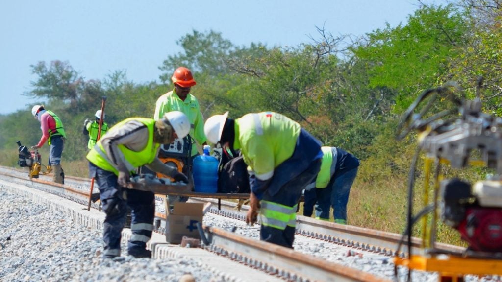
Construction of Warsaw Metro
The project used three boring machines to drill the subway tunnel. The Daszyńskiego Traffic Circle is located before the traffic circle at the intersection of Towarowa and Prosta streets. The tunnel was constructed in the centre along the Prosta and Świętokrzyska Street to the next station at Marszałkowska.
It heads towards the eastern side of Vitsula River and pass under the Świętokrzyski Bridge towards Praga North.
The tunnel was then drilled in the north direction along Targowa Street to the station at Dworzec Wilenski.
Infrastructure
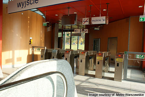
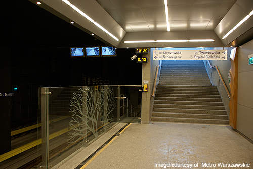
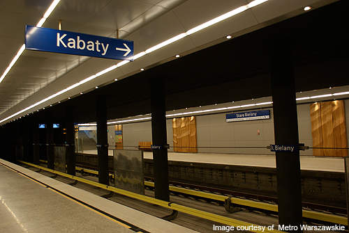
Stations on Metro Line 1 were constructed using the cut-and-cover method. The distance between each station is 1km.
The platforms are 120m in length. The tracks are a standard gauge of 1,435mm with a concrete surface.
The trains operate on third rail 750V DC power and have four minute headway during peak hours. They have a top speed of 90km/h, but travel at an average speed of 36km/h. The train covers the north-south corridor in 25 minutes.
Rolling stock
Warsaw Metro’s rolling stock comprises 60 Russian-made and 108 Alstom-made rail cars.
The Russian car has a steel body. It is 2,710mm wide and 19,2210mm long. It has four doors on each side.
It can accommodate 200 passengers and travel at a top speed of 90km/h.
The Alstom car is made of mixed aluminium and steel. It has additional features such as six handicapped seats and one wheel chair seat.
In 2011, a contract was signed for supply of 35 six-car Inspiro trains.
The European Bank for Reconstruction and Development (EBRD) granted a loan of PLN400.6m ($106.7.m) in 2017 for the purchase of 45 metro trains needed for the expansion of Metro Line 2.
Signalling and communication
The central control room is located at Kabaty station. The Warsaw Metro uses a radio telephony system to communicate in the subway tunnel. The network covers the metro tunnel stations and the passenger areas, including the train yard and the Kabaty parking.
Contractors involved in Warsaw Metro Line 2
The project contract for Line 2 was awarded in April 2009 to a consortium of Italian construction firm Astaldi (45%), Turkish firm Gülermak Isaat (45%) and Polish contractor PBDiM (10%).
Future
The city plans to eventually have four metro lines covering a length of 100km.