
Clear Track Ahead
Railroad Mapping Systems for Emergency Centres
Subscribed
You have successfully submitted your enquiry. Someone from our company will respond ASAP
About Us
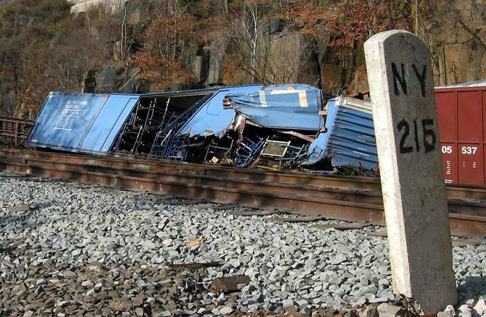
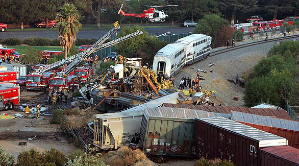
Clear Track Ahead produces a map system that integrates railroad milepost locations with street addresses used to dispatch emergency ‘first responders’.
The problem is: railroads and emergency centres do not share common map and address data bases. Both communities and railroads are well mapped. The disconnect occurs when communities do not have the railroad milepost information needed to locate events that happen on railroad property.
The solution is: CTA maps reduce the time it takes emergency centres to accurately locate a railway incident and direct first responders to the scene.


The mapping disconnect
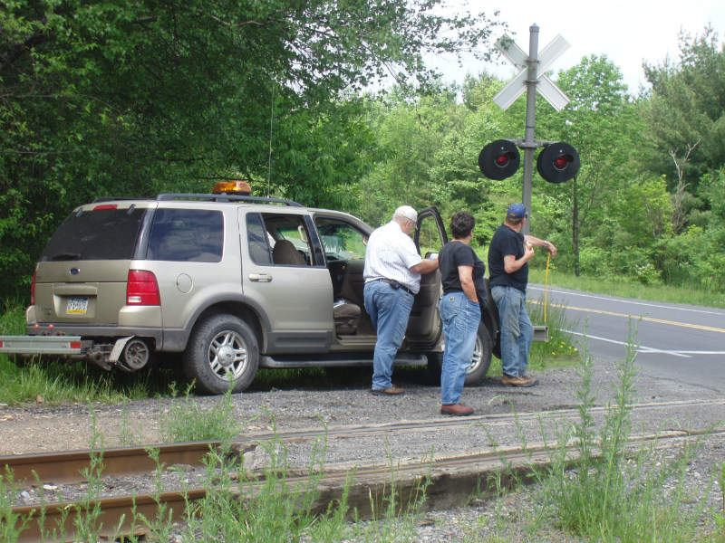
Similarly to street or highway addresses, railroads map their lines using milepost designations. Railroads also use milepost designators to locate significant features on their lines.
Emergency dispatch centre maps usually do not include railroad mileposts or railroad named locations. Rail maps do not include street map data essential to emergency planning or for dispatching responders.
This is the beginning of the communication disconnect.
Integration of public and railroad map databases
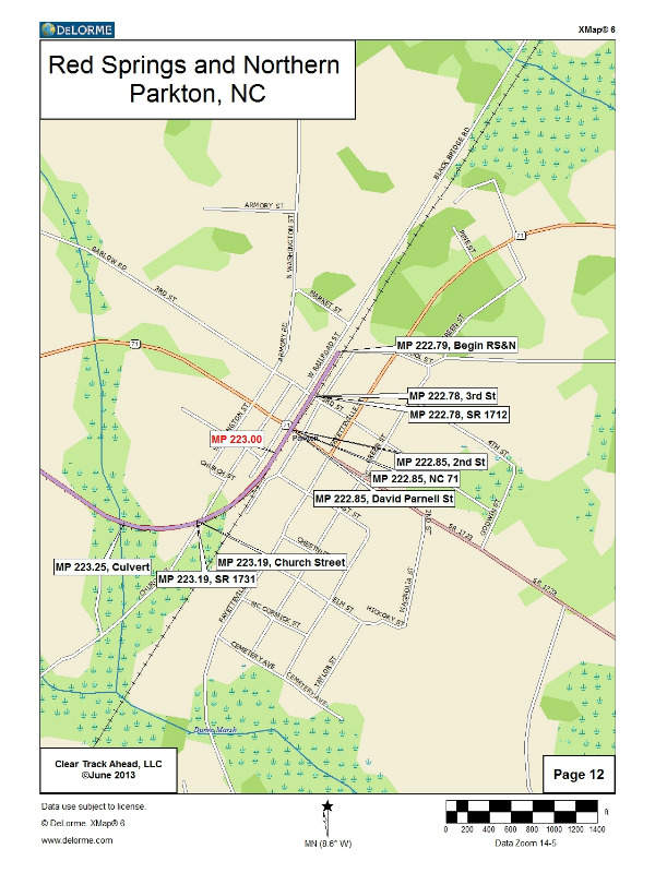
CTA produces electronic map images that have been captured by the global positioning system (GPS). These electronic map files provide a map layer that can be electronically superimposed on maps most commonly used in emergency dispatch centres.
CTA’s electronic map layer has been successfully installed as an overlay of the rail line and milepost map point data of railroads. CTA’s map process interfaces with ESRI which is the most common mapping software.
When a rail emergency is reported, emergency dispatchers can ‘turn on’ the railroad map layer to view all rail lines, milepost addresses, and other rail information on a map base portraying the emergency street / highway / road system they are used to working with every day.
Hard-copy maps for first responders
CTA’s deliverables include both electronic files and hard-copy maps. The hard-copy maps contain all of the map data points of the electronic files. They can be used in situations where computerised dispatch maps are not available.
The hard-copy maps can also be carried in the vehicles of first-due responders. This allows the responder to be looking at the same rail map the dispatcher is working with, be it an electronic map layer or hard-copy.
Emergency response plans for the public
CTA-integrated rail mapping facilitates pre-planning. The integrated maps can be used to develop a framework for creating an initial rail emergency response plan. This plan helps mitigate loss of life, personal injury, and damages to product and property.
Emergency responders and the railroad involved, can now use common maps. This enhances the accuracy and quality of the information being transmitted between parties, and will reduce response times.
CTA has developed a 12-point questionnaire, which is used to facilitate an initial rail emergency response plan.
Important national recommendations
The United States National Transportation Safety Board (NTSB) recommends: ‘Facilitate the inclusion of railroad milepost markers on all emergency response maps across the country’. (NTSB / RAR-0104 PB2001-916304)
The United States National Emergency Number Association (NENA) recommends: ‘Integration of railroad mileposts with latitude and longitude into electronic maps for public-safety answering point (PSAP) call takers’. (NENA Milepost OID 56-502)
GPS-mapped railroad points
Essential street map data for emergency planning or dispatching responders is not usually included on rail maps. Railroad mileposts and named locations are also not usually included on emergency dispatch centre maps.
CTA captures the GPS latitude / longitude of each railroad map point collected. These points are placed on emergency dispatch map layers, and include mileposts, highway grade crossings, bridges and tunnels, railroad infrastructure, and other client-specific features.
About Clear Track Ahead
Since 2005, CTA has provided a cost-effective, proactive product to reduce response time to railroad emergencies. This has a positive impact on lives, property, communities and the environment.
CTA has mapped thousands of rail miles, and has a record of having its product successfully implemented in emergency dispatch and fusion centres.
The company uses industry-standard equipment, and map bases that are ESRI compatible.
CTA is minority owned, and staffed by experienced rail and public safety professionals.